

Boundary Surveys
Boundary surveys are needed to identify boundary location and proprty corners. These can be beneficial when purchasing commercial or residential property.
We also offer ALTA/NSPS Surveys and Form Board Surveys.


Topographic Surveying
Need to determine the topography of property you're preparing to develop? We're able to provide topographic surveys with trational surveying methods and aerial mapping.


Exisiting Conditions (As-Built) Survey
Need more than just the topographic survey and want more details on the improvements of your site? We can provide planimetric maps from Aerial Data or provide an As-Built Survey using tradtional survey methods.

Construction
We can provide construction stakes for laying out any construction project needs.
Additionally we offer Aerial Mapping for Construction progress monitoring, site analysis and aerial photography. This is beneficial for stakeholders and project managers to see updates to your site.


CAD Support
Operating on all CAD programs. We also offer full technical support and processing of your own LiDAR, survey, and photogrammetry data.

Aerial Mapping, LiDAR & Photogrammerty
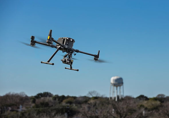
Using Drones equipped with Lidar sensors and highly accurate digital cameras, we can acquire precise data not only faster, but also more safely than traditional survey methods. Data detailing your site can be collected faster and safer than traditional methods
This type of data can be used to enhance the detail and accuracy of many types of surveys we provide.
